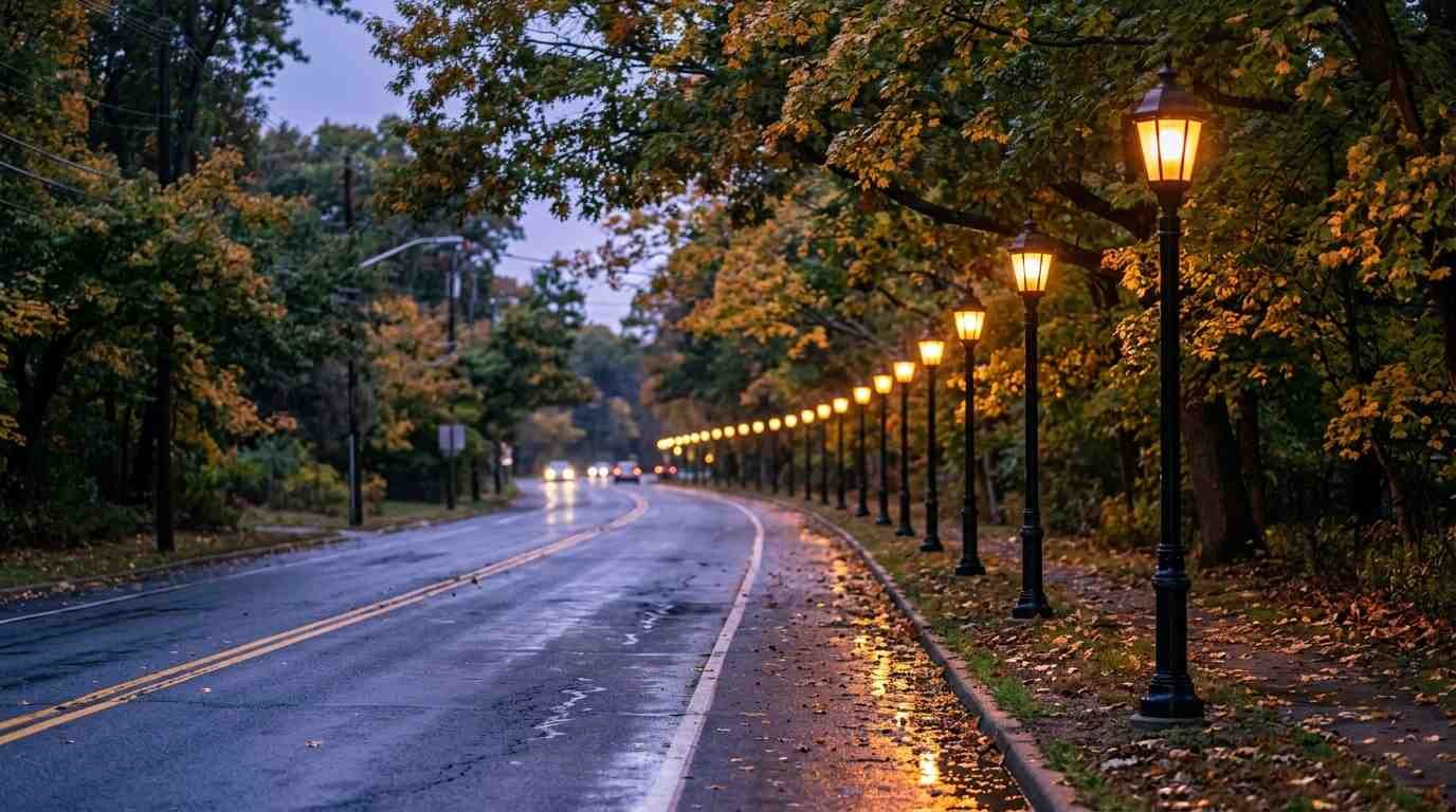
A news item published September 24, 2026, reported that Brookhaven’s Highway Department had finished installing sixteen decorative streetlights in downtown Mount Sinai. They line the westbound side of Route 25A and the eastbound side of Route 347, running from Crystal Brook Hollow Road to the point where the two highways split. Suffolk County’s JumpSTART grant program paid for the whole project, which came to about $125,000 and finished under budget. Highway Superintendent Daniel P. Losquadro called it a matter of “investing in infrastructure that supports vibrant and attractive downtown communities.”
Sixteen lamps on a stretch of asphalt. Modest news, until you learn how long this hamlet went without a downtown at all. By the hamlet’s published history, as businesses grew along Route 25A a true commercial center never took shape, and residents leaned on Port Jefferson for their shopping. The lights are a small, bright answer to a very old absence, and the road they stand beside has carried more history than its lampposts suggest.
A Dry Stream, a Swindled Englishman, and a Needle in a Bible
Mount Sinai has worn at least four names, and the first was never written in English. The Seatocot people called the area Nonowatuck, which the Mount Sinai school district’s history translates as “a stream that dries up.” Archaeological evidence at Hopkins Landing, including charcoal dated to roughly 4,000 years ago, shows people were living here long before any deed existed to say so.
The deed came on June 10, 1664. Colonial settlers from Setauket bought the land from its Native American owners, recorded in Brookhaven Township records as Massatewse and the Sunke Squaw. The Mount Sinai Civic Association lists the payment in coats, stockings, shirts, kettles, knives, and hatchets.
The settlers called the place Old Mans, and nobody can say why. The best-known story involves an elderly Englishman, Major John Gotherson, supposedly cheated out of his land by Captain John Scott, so that neighbors joked about “the Old Mans.” Local histories present that as legend, not record.
Then came the post office. When residents applied for one around 1840, the name was changed to Mount Vernon, which lasted about a year because New York already had a Mount Vernon. The first postmaster, Charles Phillips, settled on Mount Sinai, and the name has stood since 1841 or 1842. The tale told about the choice is that he pointed a knitting needle at a Bible and let it decide. The school district’s own account tells it as a legend, and it reads best that way: charming, unprovable, and the kind of story a town keeps because it is better than the paperwork.
Eight Boats Across the Sound
Late in November 1780, the quiet harbor at Old Man’s became a landing zone.
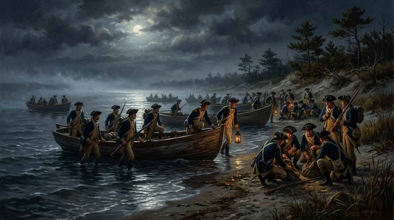
Major Benjamin Tallmadge, a Continental Army dragoon officer, wanted to strike Fort St. George, a nearly finished British post on Long Island’s south shore. Washington at first refused. Then Tallmadge’s scouts reported the fort full of arms and supplies, and about 300 tons of hay stockpiled in Coram, and on November 7 he wrote again. Washington consented.
On the evening of November 21, roughly 80 men crossed from Fairfield, Connecticut, in eight boats and came ashore at Old Man’s at about eight o’clock, on the shore of what is now Mount Sinai Harbor near Cedar Beach. Weather scrubbed the first attempt at a march. The next evening they set out again, and the raid that followed took the fort within minutes. Tallmadge and ten men then rode to Coram and burned all 300 tons of hay. By the account in All Things Liberty, no American was killed, one was wounded, and the raiders came home with prisoners and the garrison’s standard.
Washington noticed. His General Orders of November 29, 1780, say Tallmadge “surprized Fort St George on Long Island and captured a Colonel.”
One caution belongs here. Some of the more colorful details of the raid come from Tallmadge’s memoir, written about fifty years afterward, and the article’s author flags that it should be checked against documents from the time. The landing, the boats, and the hay are well supported. A few of the anecdotes are softer. The march south is now commemorated as the Benjamin Tallmadge Historic Trail, which runs from Mount Sinai to Mastic Beach.
The Corridor Before It Was a Corridor
Roads get numbers long after they get traffic. Route 25A on Long Island started life in the mid-1920s as part of state Route 25. According to the route’s documented history, the 25A designation arrived around 1927, and a 1930 renumbering fixed it as the northern alternate to Route 25, the label it still carries from Queens out to Calverton.
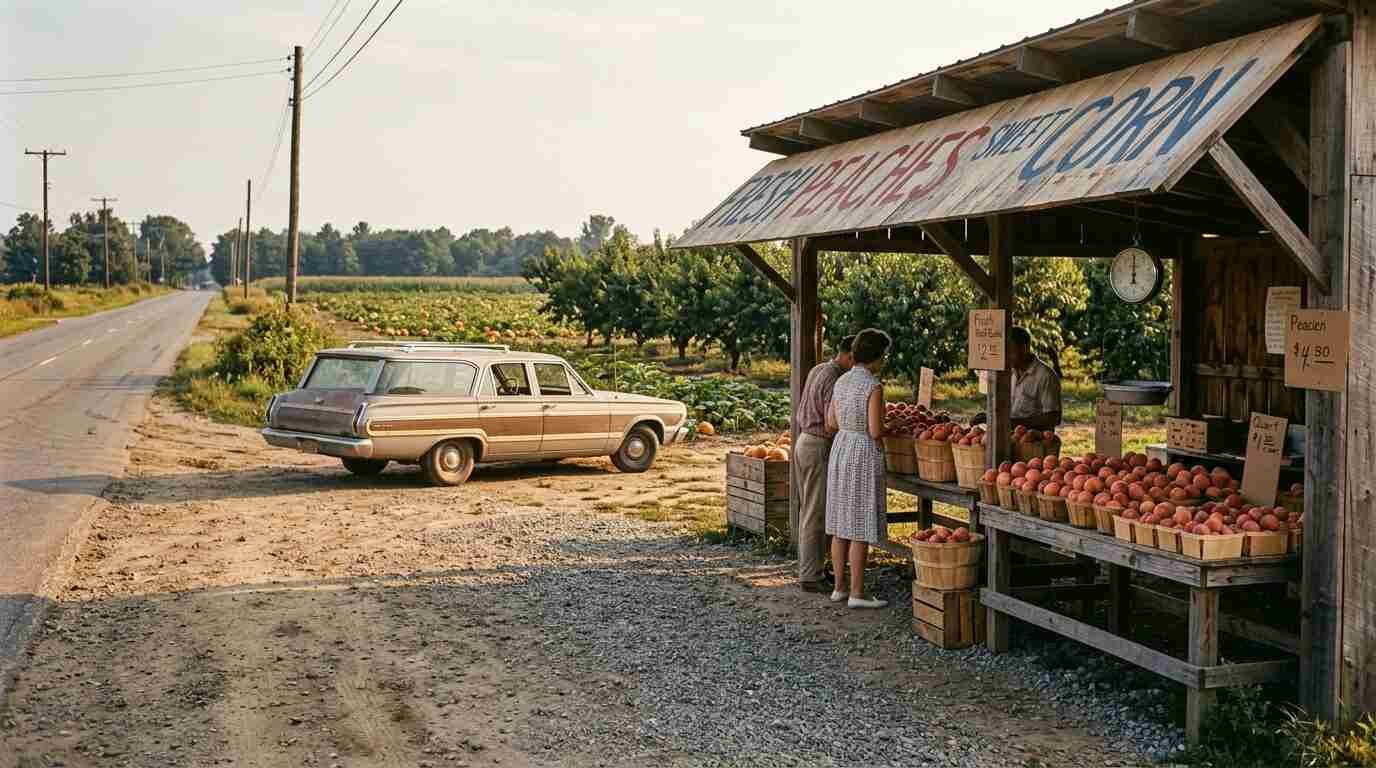
For most of Mount Sinai’s existence the land beside it was a working landscape. The school district’s history says farming was the main occupation from the 1660s through the 1960s. The Long Island Rail Road ran a line east through Mount Sinai from 1895 until the late 1930s. Along 25A itself, the Davis Peach farm stand grew famous for locally grown fruit.
Then the arithmetic changed. The hamlet counted 1,239 residents in 1960, 6,591 in 1980, and 8,023 in 1990, with housing developments spreading across fields that had grown pumpkins and peaches within living memory. A farm road became a highway almost without anyone choosing it.
The Wedge
Not every stretch of 25A went the way of the bulldozer. One triangle of farmland, known locally as “the Wedge,” went the other way.
The land had been a pumpkin and sod farm, part of the same agricultural belt as the Davis Peach Farm. Around 2000, residents opposed a proposed Home Depot there. Only about one acre at the southern tip carried commercial zoning, and the rest was residential. The civic association had proposed a hamlet study back in 1988, and in 1999 it proposed that Suffolk County buy the parkland. The county bought most of it through its Community Greenways Fund, Brookhaven built the athletic fields and walking paths, and construction began in 2003.
Heritage Park now holds ball fields, a playground, a splash pad, and the Avenue of America, where an annual parade of flags is held. Assemblyman Steve Englebright once called it “one of the most beautiful parks of its kind” he had seen, according to the Village Beacon Record. The Heritage Trust that runs it with the town was incorporated in 2000, the same year the Heritage Diner at 275 Route 25A began its family ownership, a coincidence of dates and nothing more.
Marilyn, the Harbor, and the Woods Behind the Church
The harbor side of Mount Sinai has its own stories, some documented and some folklore.
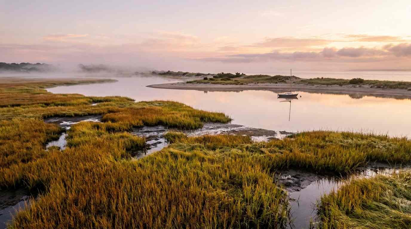
Mount Sinai Harbor covers roughly 455 acres of salt marsh, mudflats, and open water, a flooded glacial river valley. Its original mouth sat on the east side until tides and wind closed it, and a new mouth was dredged on the west side in the mid-1800s. Sand mining then sparked three civic battles in the twentieth century, and citizen action ended the dredging in the late 1960s.
Behind the Congregational Church, built around 1807 by a congregation founded in 1789, lies the former Chandler Estate. Local reporting describes it as a waterfront resort overlooking the harbor that hosted celebrity guests in the 1940s and 1950s, including Marilyn Monroe and Arthur Miller. The school district’s history adds that Miller, Lionel Barrymore, Dawn Powell, Norman Rosten, and Mark Swan all rented homes in Mount Sinai at various times. Suffolk County bought the Chandler property in 2001, and it is now a county park. The main house caught fire in 2004, and the woods have long carried ghost stories. Mount Sinai native Diana Brennin put it plainly: “In high school, this was the place you’d come to to get spooked out.”
Mount Sinai in Dates and Short Answers
The timeline
- June 10, 1664: Deed for the Old Mans lands from Massatewse and the Sunke Squaw to settlers from Setauket.
- 1789: Nine worshipers found the Congregational Church; the current building dates to 1807.
- November 21, 1780: Tallmadge’s dragoons land at Old Man’s.
- Early 1840s: Post office opens; Mount Vernon is dropped and Mount Sinai adopted.
- 1895 to the late 1930s: Long Island Rail Road service through Mount Sinai.
- 1917: Mount Sinai Civic Association founded.
- Late 1960s: Civic action ends harbor dredging.
- 2001: Suffolk County buys the Chandler Estate.
- 2003: Heritage Park construction begins.
- September 2026: Sixteen decorative streetlights go up on Routes 25A and 347.
Why is it called Mount Sinai? The first postmaster, Charles Phillips, chose it in the early 1840s after “Mount Vernon” was dropped. The knitting-needle-and-Bible story is a local legend.
What was the original name? Local histories give Nonowatuck, “a stream that dries up,” and then Old Mans from the colonial period.
Did the Revolutionary War reach Mount Sinai? Yes. Tallmadge’s dragoons landed at Cedar Beach in November 1780 on their way to Fort St. George.
Where the Lights End
The new fixtures stop where the grant money did. The president of the Mt. Sinai-Miller Place Chamber of Commerce, Holly Bottiglieri, told the news outlet the group hopes to find funding for more streetlights farther down the 25A corridor. So the story of the road isn’t finished, and neither is the lighting.
Drive it at dusk this fall and the sequence is oddly legible. A harbor that was once a dry stream, a beach that once hid eight boats, a wedge of farmland that survived a big-box plan, and sixteen lamps marking a downtown the hamlet has spent three and a half centuries waiting to have.
Sources
- Brookhaven Highway Department Completes Decorative Streetlight Improvement Project in Mt. Sinai (LongIsland.com, Sept. 24, 2026)
- Mount Sinai history, Mount Sinai School District
- About / history, Mount Sinai Civic Association
- Major Benjamin Tallmadge and the Battle of Fort St. George (All Things Liberty)
- General Orders, 29 November 1780 (Founders Online, National Archives)
- New York State Route 25A (Wikipedia)
- Mount Sinai, New York (Wikipedia)
- The Heritage Park Trust looks back on nearly 20 years (TBR News Media)
- A trail with a past: visiting Mount Sinai’s former Chandler Estate (Messenger Papers, Oct. 2022)
- Heritage Diner, 275 Route 25A, Mt Sinai